


Around Us
What to do in the Radovljica Area
Explore the region
Photo credits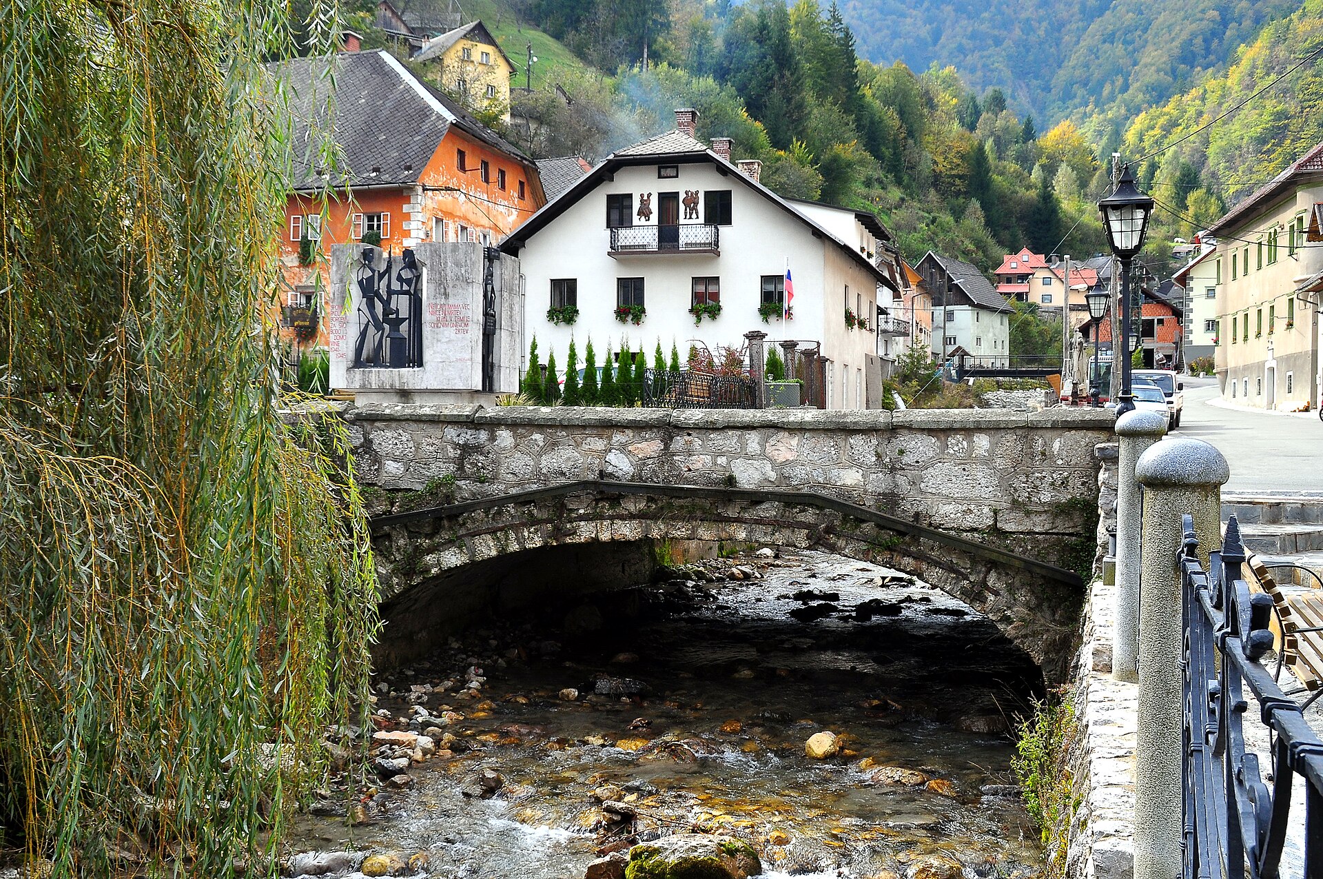 5 min
Kropa
Historic blacksmith village
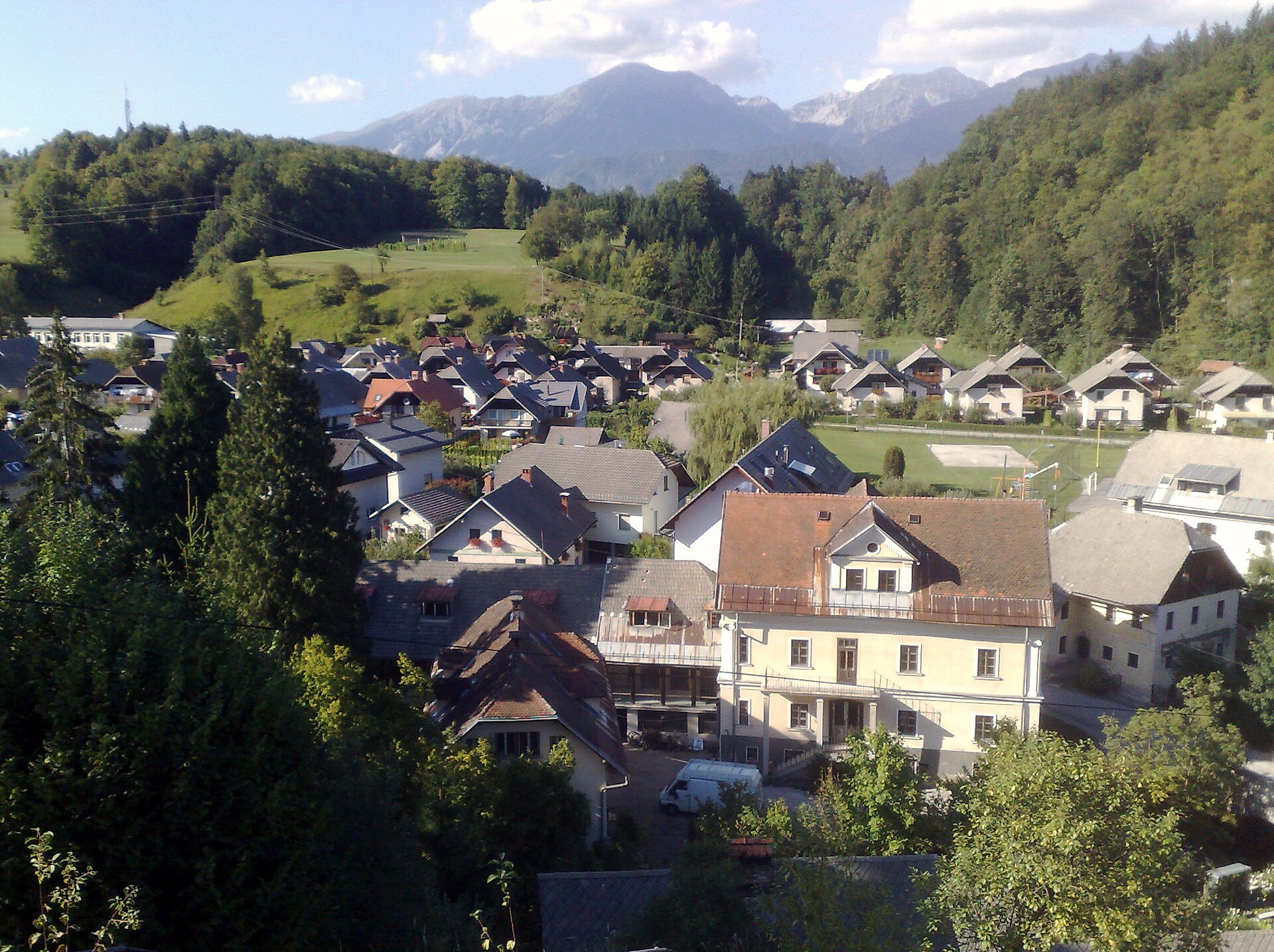 5 min
Kamna Gorica
Old ironworking village
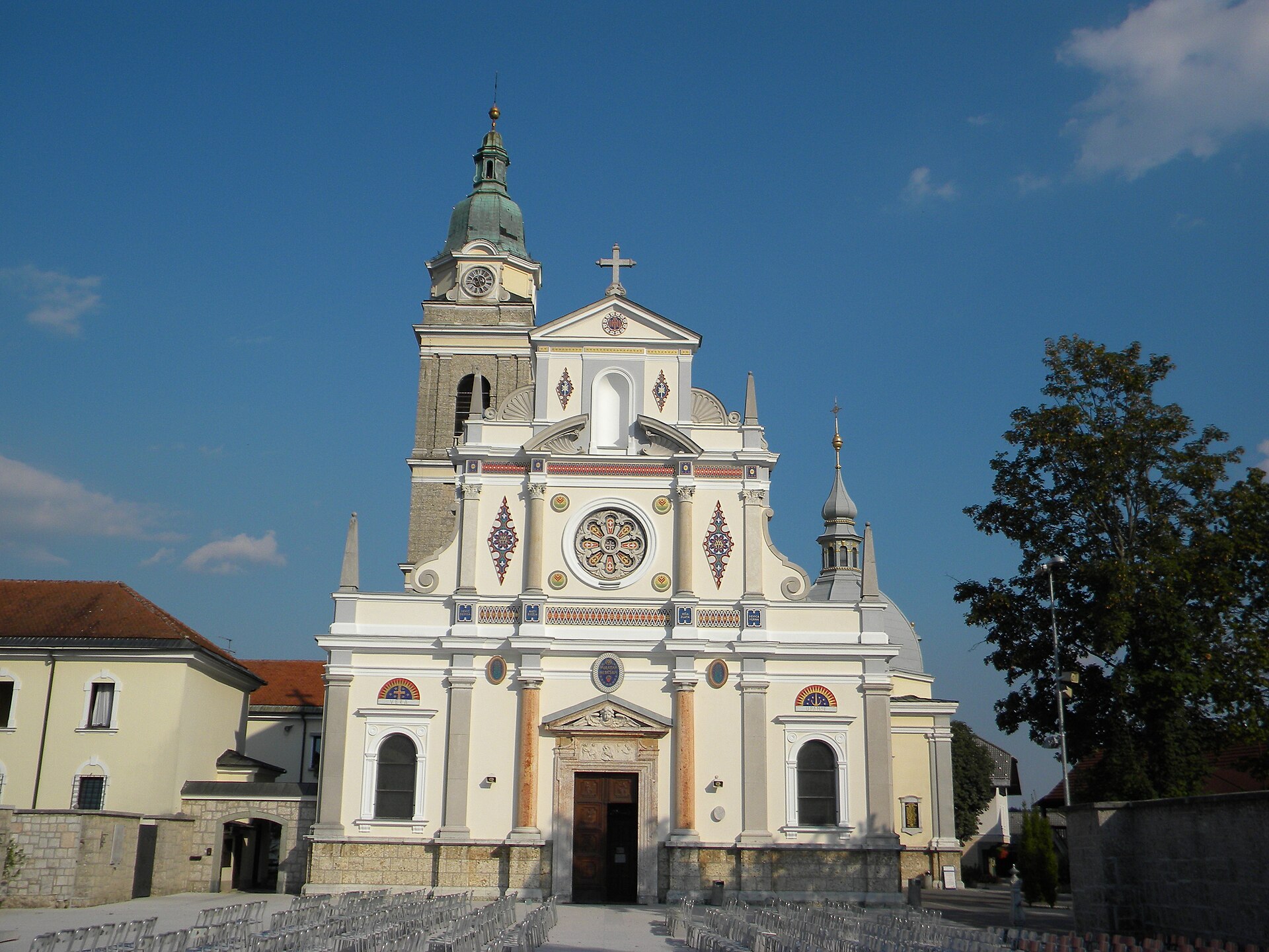 5 min
Brezje
Slovenia’s national Marian shrine
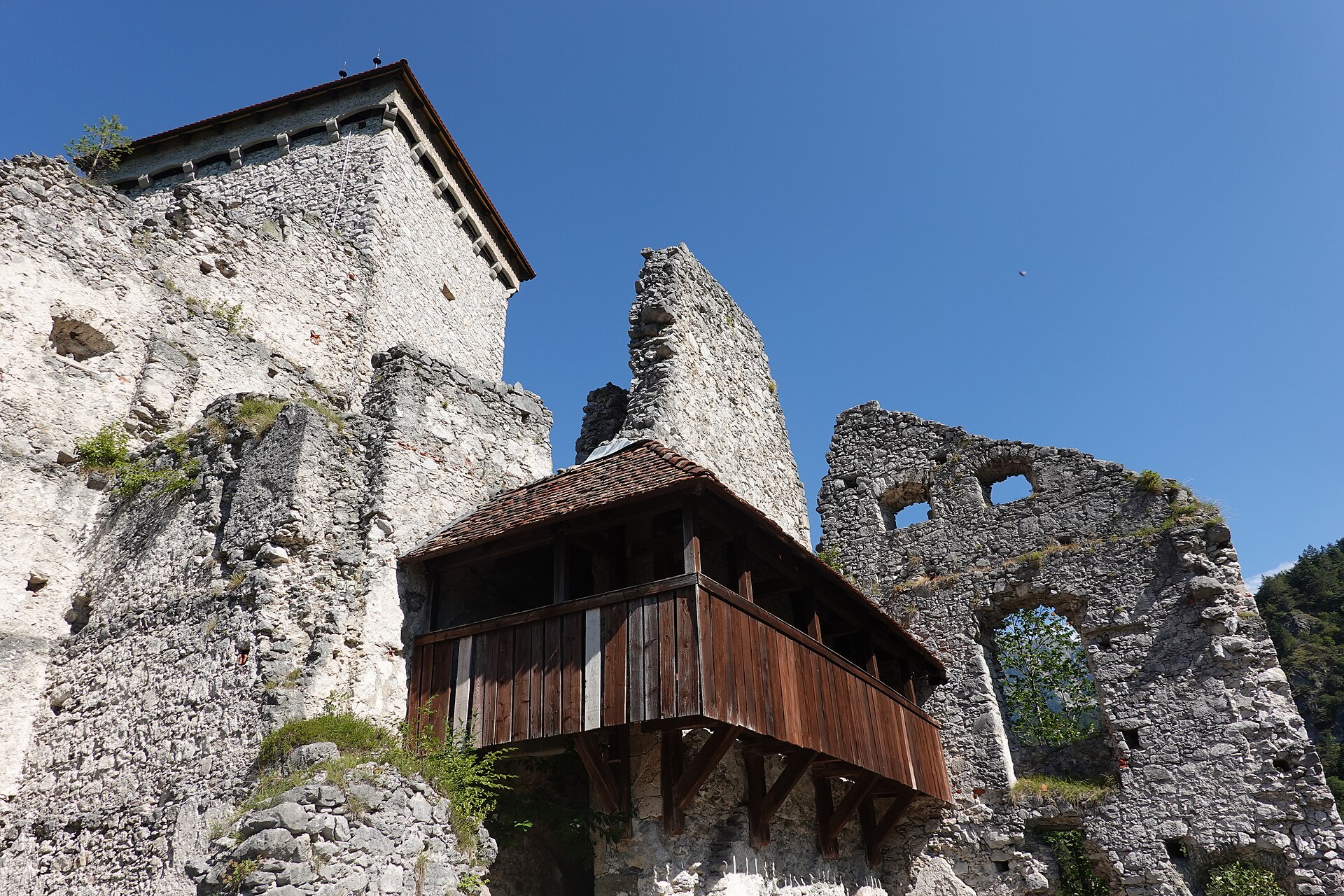 10 min
Begunje
Ruins of Kamen Castle
 10 min
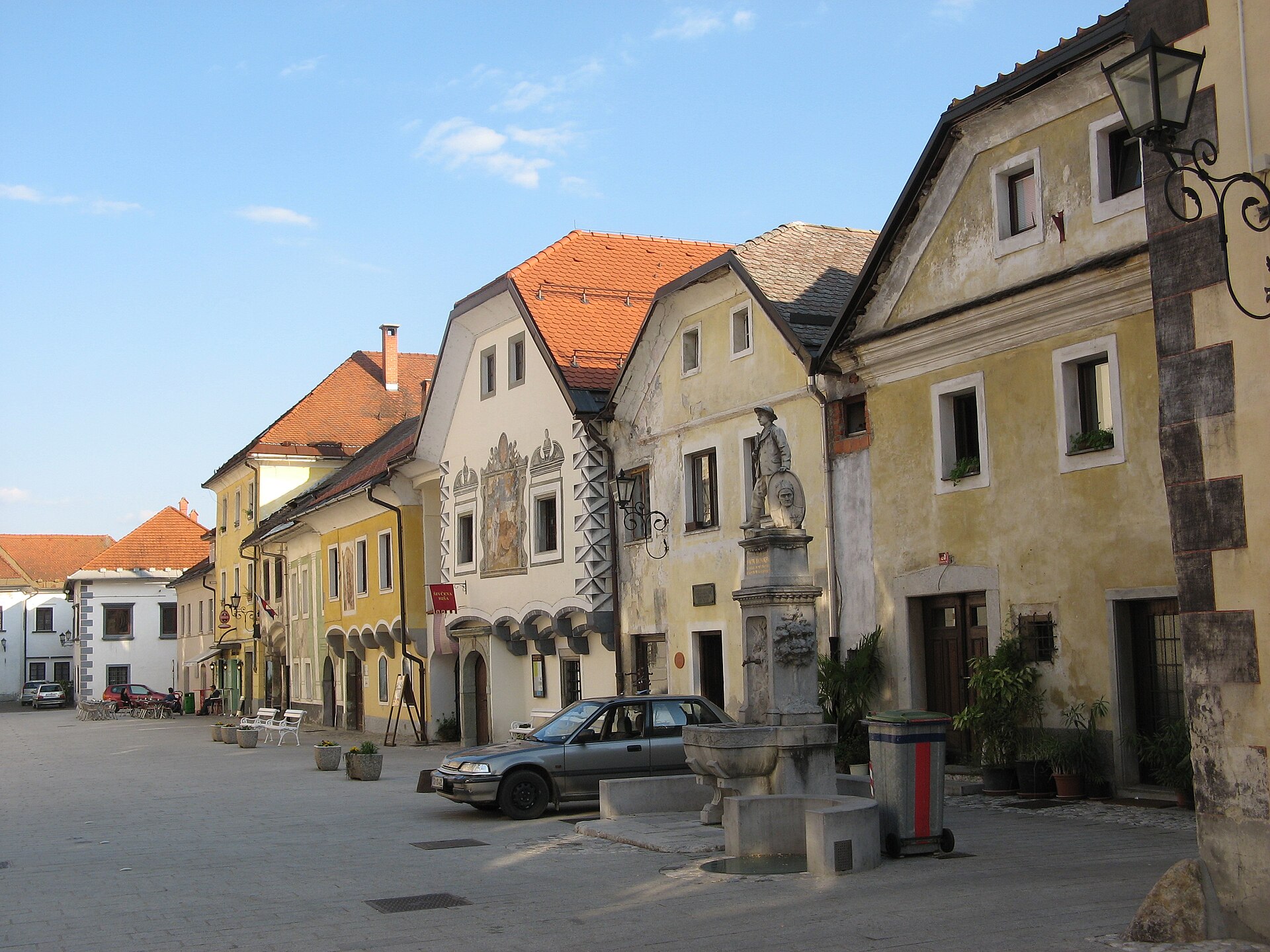
Radovljica
Medieval old town
 18 min
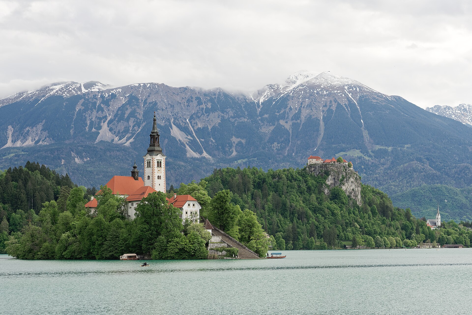
Bled
Lake, island and castle
 25 min
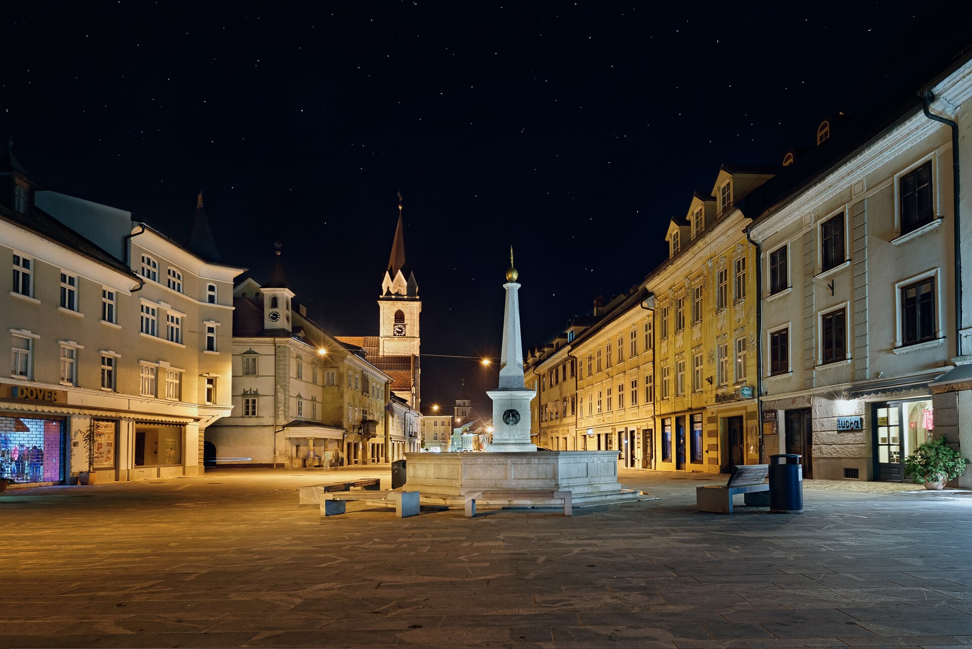
Kranj
Old town above the Kokra canyon
 40 min
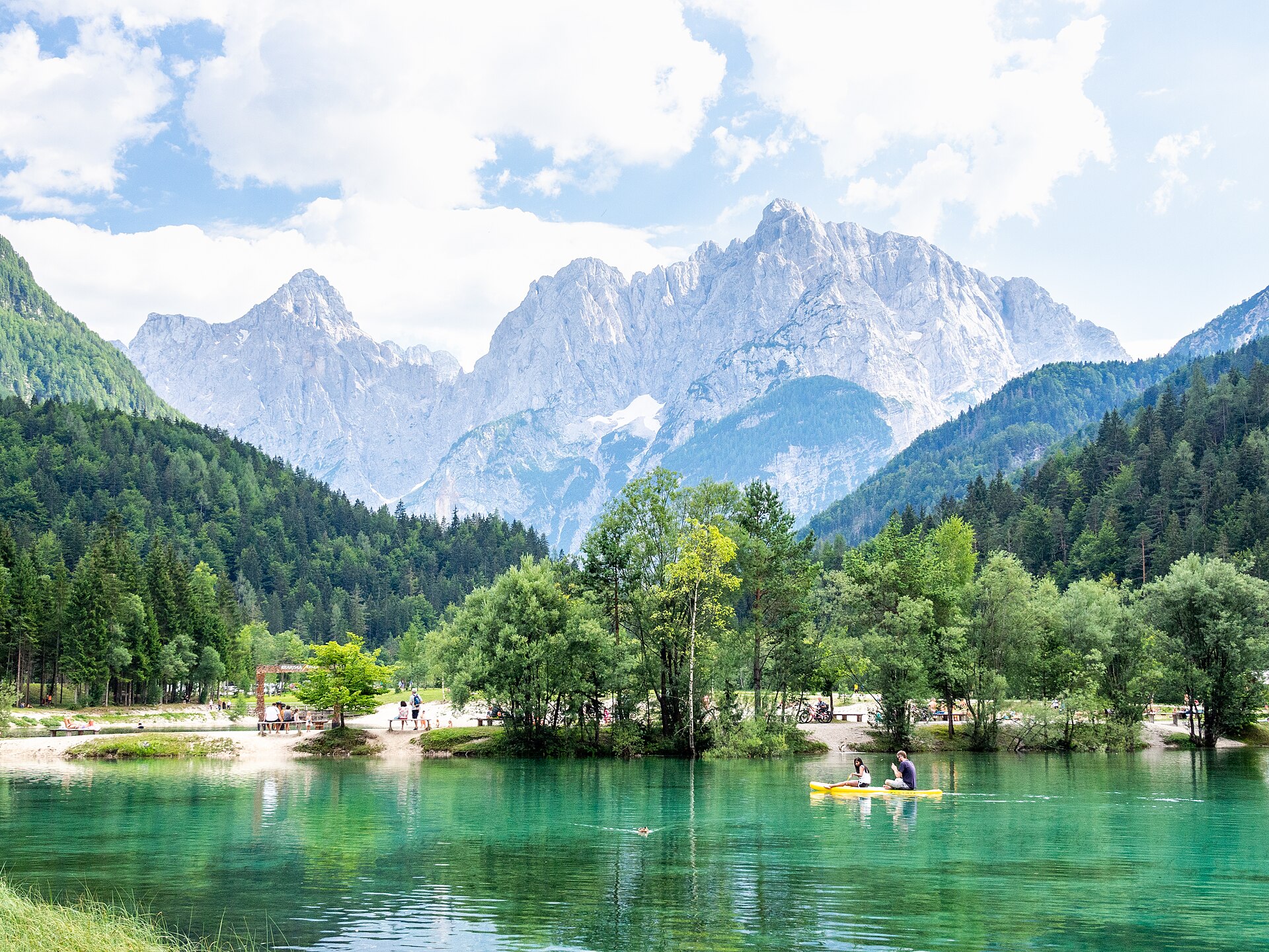
Kranjska Gora
Alpine resort and Lake Jasna
 50 min
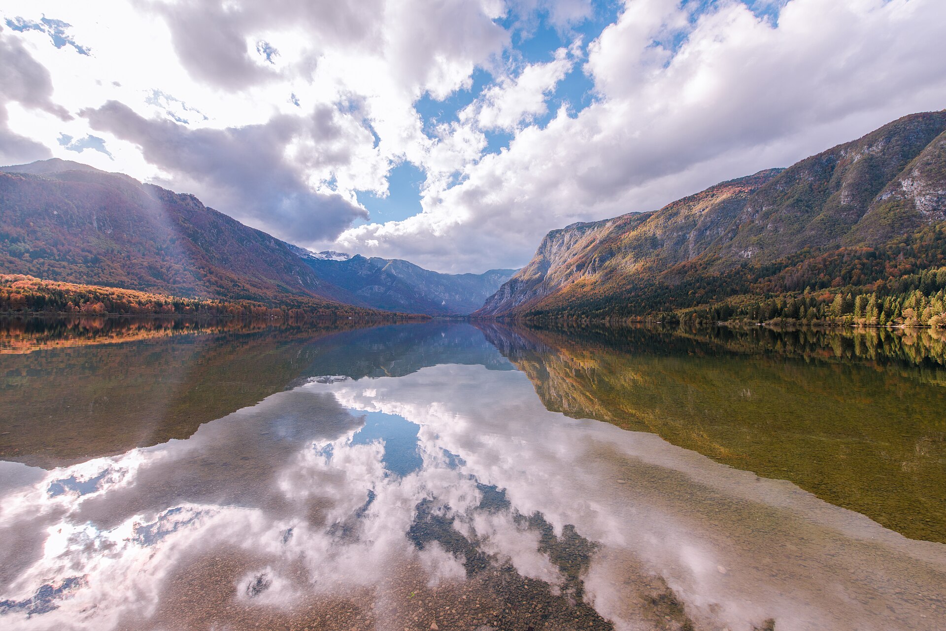
Bohinj
Slovenia’s largest natural lake
Hiking & Mountains
Photo credits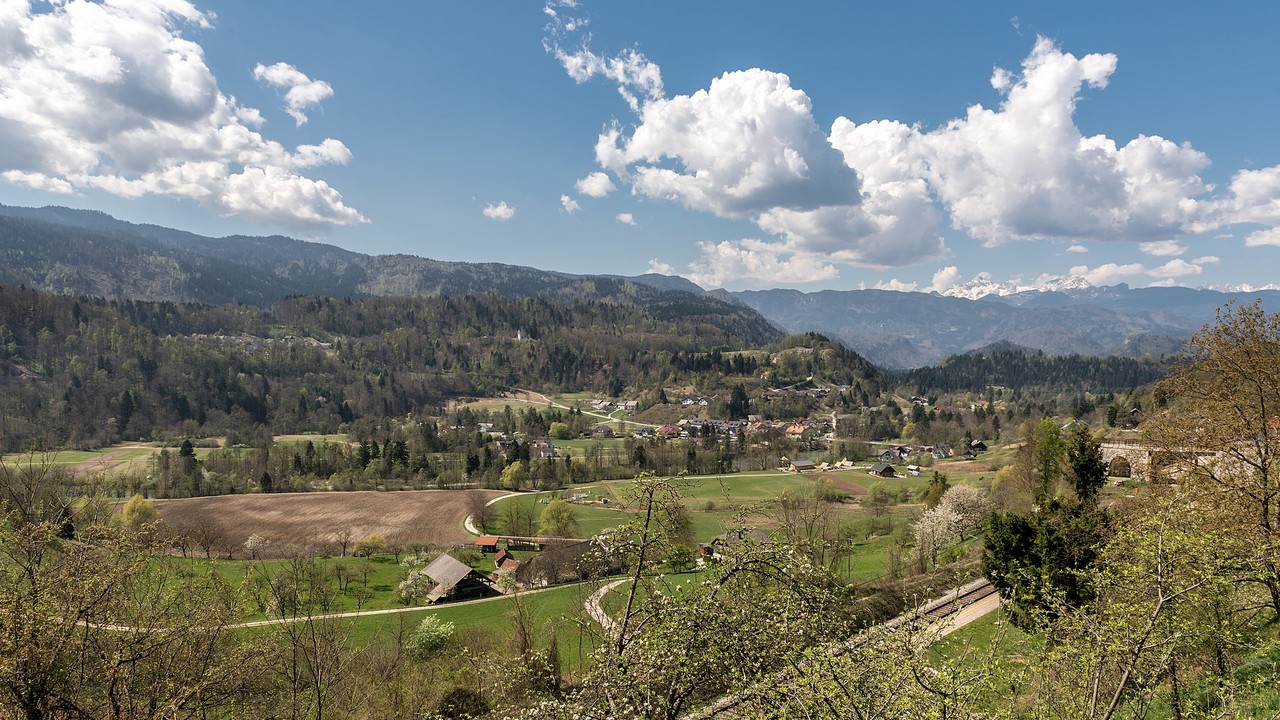 Easy
Ojstra peč
A short woodland walk to a peaceful viewpoint above the Sava Valley.
Approx. 20 min one way
Start: Zgornja Dobrava trailhead
No car needed for Rooms Minka guests – start on foot from the accommodation.
Hover for QR code
Route on hribi.net
Scan for the route
Ojstra peč or click to open on this device
 Easy
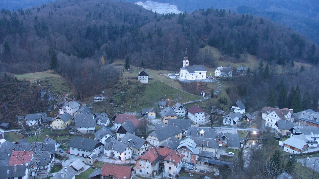
Zjavka
A quiet forest walk leading to a viewpoint overlooking Kamna Gorica and the surrounding landscape.
Approx. 30 min one way
Start: Zgornja Dobrava trailhead
No car needed for Rooms Minka guests – start on foot from the accommodation.
Hover for QR code
Route on hribi.net
Scan for the route
Zjavka or click to open on this device
 Moderate
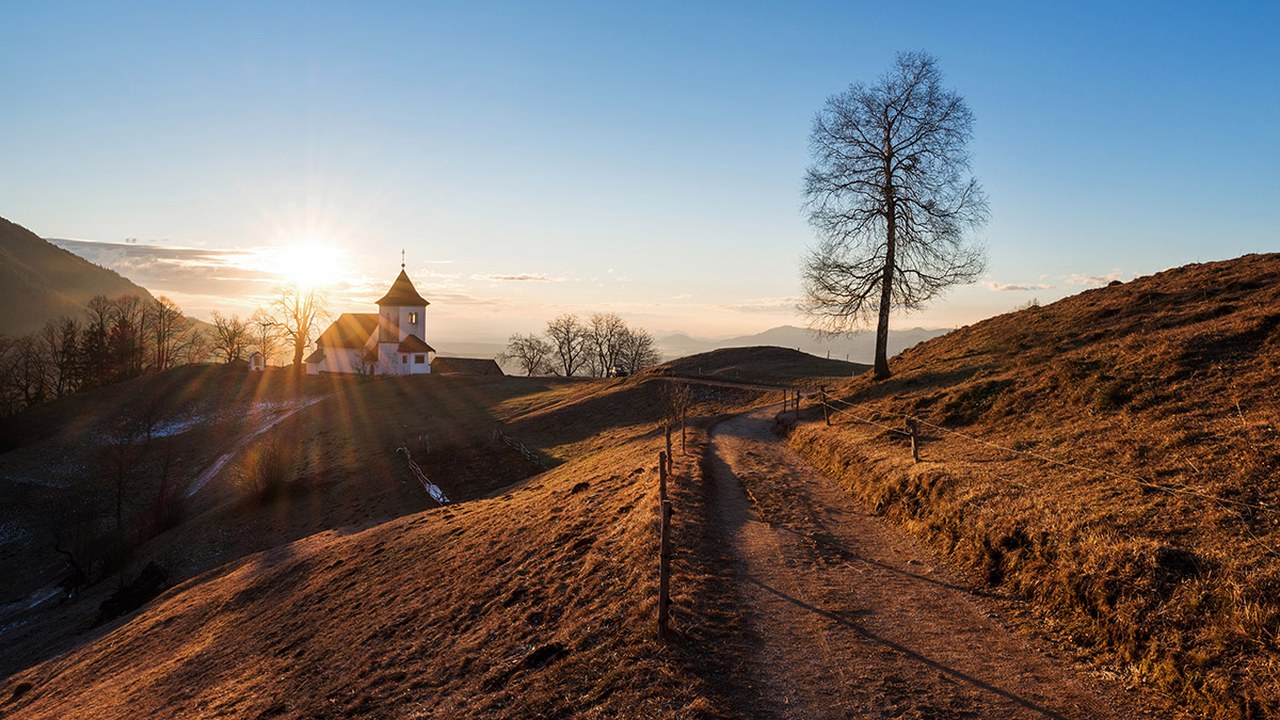
St. Peter above Begunje
A relatively short but steep climb to a historic hilltop church with beautiful views towards Bled and the Julian Alps.
Approx. 40 min uphill
Start: Begunje na Gorenjskem
Public parking area between the Begunje fire station (PGD Begunje) and Gostilna pri Jožovcu.
Hover for QR code
Route on hribi.net
Scan for the route
St. Peter above Begunje or click to open on this device
 Moderate
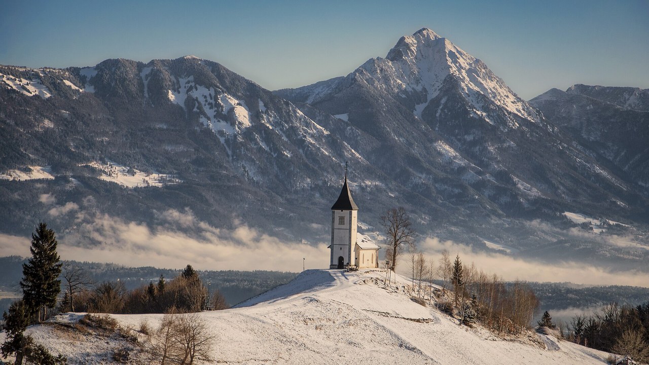
Kropa – Jamnik
A scenic hike from the historic ironworking village of Kropa to the famous hilltop church at Jamnik.
Approx. 1 hr 10 min uphill
Start: Kropa
Parking area beside the sports ground in Kropa.
Hover for QR code
Route on hribi.net
Scan for the route
Kropa – Jamnik or click to open on this device
 Moderate
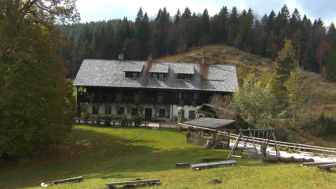
Vodiška planina
A steep woodland ascent to a peaceful mountain pasture and traditional mountain hut.
Approx. 1 hr 30 min uphill
Start: Kropa – Slovenska peč
Gravel parking area beside the road just below Slovenska peč, above Kropa.
Hover for QR code
Route on hribi.net
Scan for the route
Vodiška planina or click to open on this device
 Demanding
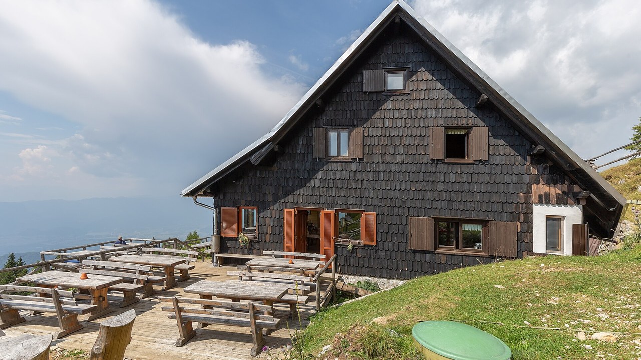
Roblekov dom
A rewarding mountain hike with a substantial ascent and panoramic views from the slopes of Begunjščica.
Approx. 2 hr 50 min uphill
Start: Dom v Dragi, Begunje
Gravel parking areas approximately 100 metres beyond Dom v Dragi. Parking immediately in front of the hut is reserved for its guests.
Hover for QR code
Route on hribi.net
Scan for the route
Roblekov dom or click to open on this device
 Moderate
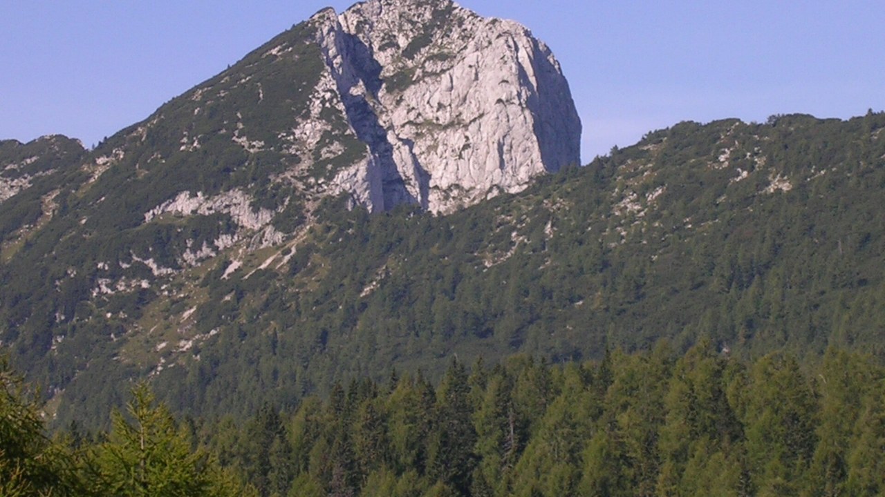
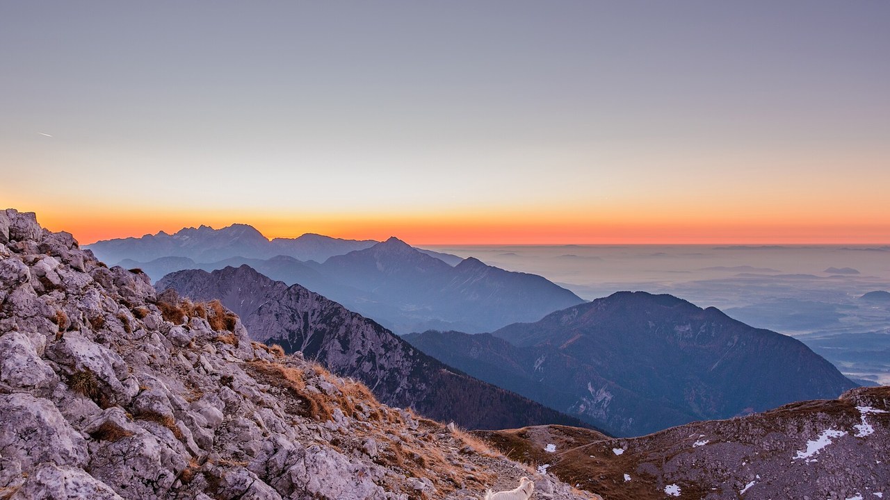
Debela peč
A beautiful high-altitude hike across alpine pastures to a panoramic summit above Pokljuka.
Approx. 2 hr 15 min uphill
Start: Medvedova konta, Pokljuka
Designated parking area before the road barrier at Medvedova konta, when the access road is open.
Hover for QR code
Route on hribi.net
Scan for the route
Debela peč or click to open on this device
 Demanding
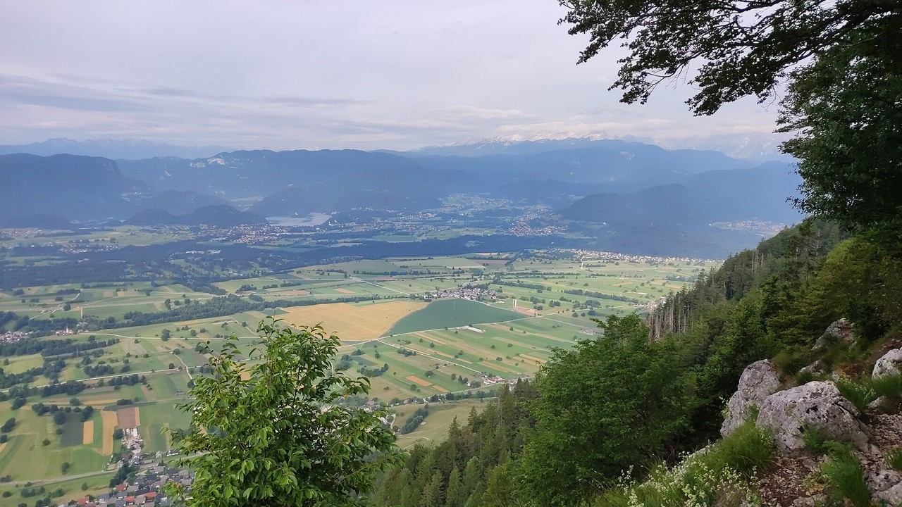
Stol
A demanding mountain ascent to the highest summit of the Karavanke range, offering exceptional alpine views.
Approx. 3 hours uphill
Start: Valvasorjev dom pod Stolom
Parking areas along the road near Valvasorjev dom, subject to road access and local restrictions.
Hover for QR code
Route on hribi.net
Scan for the route
Stol or click to open on this device
 Moderate
Smokuški vrh
A scenic forest hike via St. Peter and Sankaška koča to a summit overlooking the Gorenjska countryside.
Approx. 1 hr 40 min uphill
Start: Begunje na Gorenjskem
Public parking area between PGD Begunje and Gostilna pri Jožovcu.
Hover for QR code
Route on hribi.net
Scan for the route
Smokuški vrh or click to open on this device
Before setting out, check the weather and current trail conditions.
Trail conditions (PZS)
Walking times are approximate, one way from the stated starting point. Allow additional time for the return journey and breaks. Check weather, trail conditions and road access before setting out.
Grocery Shops Nearby
5 min
Mercator Kropa
Grocery store
Hover for QR code
Open in Google Maps
Scan to open
Mercator Kropa in Google Maps or click to open on this device 5 min Domačija Globoko Small grocery shop Hover for QR code Open in Google Maps Scan to open
Domačija Globoko in Google Maps or click to open on this device 10 min Spar Radovljica Supermarket Hover for QR code Open in Google Maps Scan to open
Spar Radovljica in Google Maps or click to open on this device 10 min Hofer Radovljica Supermarket Hover for QR code Open in Google Maps Scan to open
Hofer Radovljica in Google Maps or click to open on this device
Mercator Kropa in Google Maps or click to open on this device 5 min Domačija Globoko Small grocery shop Hover for QR code Open in Google Maps Scan to open
Domačija Globoko in Google Maps or click to open on this device 10 min Spar Radovljica Supermarket Hover for QR code Open in Google Maps Scan to open
Spar Radovljica in Google Maps or click to open on this device 10 min Hofer Radovljica Supermarket Hover for QR code Open in Google Maps Scan to open
Hofer Radovljica in Google Maps or click to open on this device
Restaurants & Taverns Nearby
5 min
Pri Marički
Village tavern
Hover for QR code
Open in Google Maps
Scan to open
Pri Marički in Google Maps or click to open on this device 5 min Pri Jarmu, Kropa Village tavern & pizzeria Hover for QR code Open in Google Maps Scan to open
Pri Jarmu, Kropa in Google Maps or click to open on this device 10 min Na Kležnik Restaurant & sweets shop Hover for QR code Open in Google Maps Scan to open
Na Kležnik in Google Maps or click to open on this device 15 min Tavči Kuhna Vegan restaurant Hover for QR code Open in Google Maps Scan to open
Tavči Kuhna in Google Maps or click to open on this device
Pri Marički in Google Maps or click to open on this device 5 min Pri Jarmu, Kropa Village tavern & pizzeria Hover for QR code Open in Google Maps Scan to open
Pri Jarmu, Kropa in Google Maps or click to open on this device 10 min Na Kležnik Restaurant & sweets shop Hover for QR code Open in Google Maps Scan to open
Na Kležnik in Google Maps or click to open on this device 15 min Tavči Kuhna Vegan restaurant Hover for QR code Open in Google Maps Scan to open
Tavči Kuhna in Google Maps or click to open on this device
Breakfast Nearby
10 min
Krek, Lesce
Breakfast 6:00–9:30
Hotel restaurant Hover for QR code Open in Google Maps Scan to open
Krek, Lesce in Google Maps or click to open on this device +386 4 530 2345 +386 4 530 2345
Hotel restaurant Hover for QR code Open in Google Maps Scan to open
Krek, Lesce in Google Maps or click to open on this device +386 4 530 2345 +386 4 530 2345
10 min
Hiša Linhart, Radovljica
Breakfast 8:00–11:00
Book ahead Hover for QR code Open in Google Maps Scan to open
Hiša Linhart, Radovljica in Google Maps or click to open on this device +386 41 747 636 +386 41 747 636
Book ahead Hover for QR code Open in Google Maps Scan to open
Hiša Linhart, Radovljica in Google Maps or click to open on this device +386 41 747 636 +386 41 747 636